Khunjerab Pass at 4,700 m. Coldest, most beautiful ride of my life.
Khunjerab Pass · 4,700 m
RIDE
Gilgit → Khunjerab Pass
6/18/2026
DISTANCE1050.0 km
MOVING14:30:00
AVG72.0 km/h
CLIMB4,200 m
Sost · Passu · Khunjerab
42 9 Share
Offline maps, turn-by-turn bike navigation, tour planning, weather, crew tracking and SOS: working in airplane mode, all day, on one charge.
No spam — the occasional ping when something big ships. Leave anytime.
No signal required · no account required to ride · Android & iOS out now
Every core ride function works with zero signal. Your phone is the source of truth, not the cell tower.
Low-power recording widens the GPS cadence to survive a full touring day on one charge.
Sharing is opt-in, time-boxed and revocable. A privacy zone hides your home; data is encrypted in transit and at rest.
Switchbacks above the tree line. A pass with no bars for 120 km. Every biker knows that stretch: it's exactly where you need the map most, and exactly where it goes blank. Apex Rider caches your entire tour onto the phone before you leave the last town: the maps, the route, the cues, the weather, the places to fuel and sleep. When the signal drops, nothing else does.
Plan it, ride it, survive it. Offline. Apex Rider replaces the maps app, the spreadsheet, the group chat and the safety gadget with one companion that runs when the signal doesn't.
Download a region; navigate turn-by-turn with the radio off.
Multi-day routes split into days: distance, climb and ETA.
Where to ride and where to stop: fuel, food, viewpoints, offline.
Stop wondering what to carry. T-CLOCS, ATGATT and kit, ticked off.
Auto-SOS on a hard impact, check-ins, the right local number.
Services finder gets you to repair, fuel and water, even offline.
Route-ahead warnings before the cold, rain or wind hits.
Group rides on one live map, with a regroup banner and chat.
Beds and wildcamps pinned to your route, available offline.
Honest GPS recording, full history, GPX / FIT export.
Wear tracked by the km; service reminders before they bite.
Bikers flag potholes, closures and the mechanic worth trusting.
AMOLED-dark, glove-friendly, and built to read at a glance at speed.
Search places · build & cache routes
Fuel · viewpoints · dhabas
Hand-picked rides, offline
Forecast & ride alerts
T-CLOCS · gear · touring kit
Chats · groups · live location
Economy · spend · range
Wear by km · reminders
Start a ride, plan a route, run a checklist: the whole tour from the dashboard.
Full history with route traces, distance and climb. Export to GPX or FIT.
Complete your first ride
Complete 10 rides
Complete 50 rides
Complete 100 rides
Ride 100 km total
Ride 1,000 km total
Ride 10,000 km total
A single ride of 300 km
10 of 13 earned: chase centuries, iron-butts and altitude records.
Log fill-ups, track km/L and see what the tour really cost in fuel.
One year, every kilometer, one tap to share.
Auto-SOS after 30s countdown
Share with crew while riding
SOS, pre-ride checks and crash detection, always one tap away.
Tap to cache every map tile, cue and place your route needs, before you leave the last town.
Navigate, record, check the weather, find fuel and stay safe. With the radio off.
Rides, photos, stats and messages sync and share the moment you reconnect.
Crash detection watches for an impact and starts a 30s countdown. No response, and it triggers an SOS on its own. One tap dials the correct local emergency number for wherever you are and texts your live location to every contact.
Crash detection and SOS are best-effort aids, not a replacement for emergency services or a satellite messenger. Always carry appropriate backup for remote travel.
Apex Rider is built for the bike, not just the route. Log every fill-up and watch your economy. Track wear by the kilometer and get a heads-up before a service is due, not after the breakdown. Keep your gear, your bikes and your maintenance history in one place.
Find biker clubs and riders near you. Join a group ride. Drop your crew onto one live map and regroup when the road splits you up. Hand out kudos, chase a challenge up the leaderboard. Then close the year with a Year-in-Review worth sharing.
Khunjerab Pass at 4,700 m. Coldest, most beautiful ride of my life.
Sunday dawn run up to Naran before the crowds. Abbottabad → Naran in one push.
Geotagged rides, photo maps and crowd-sourced road reports: the parts of the map that come from riders, not a cell tower.
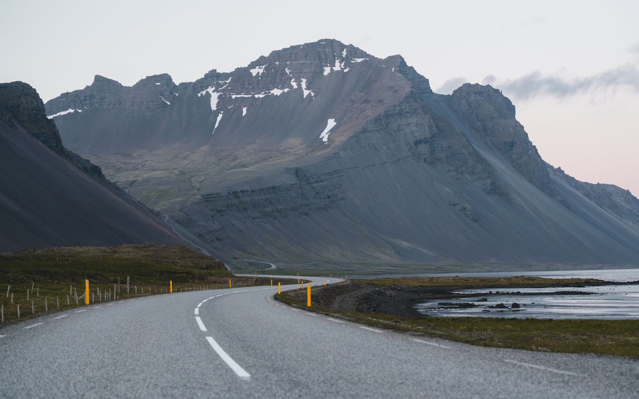



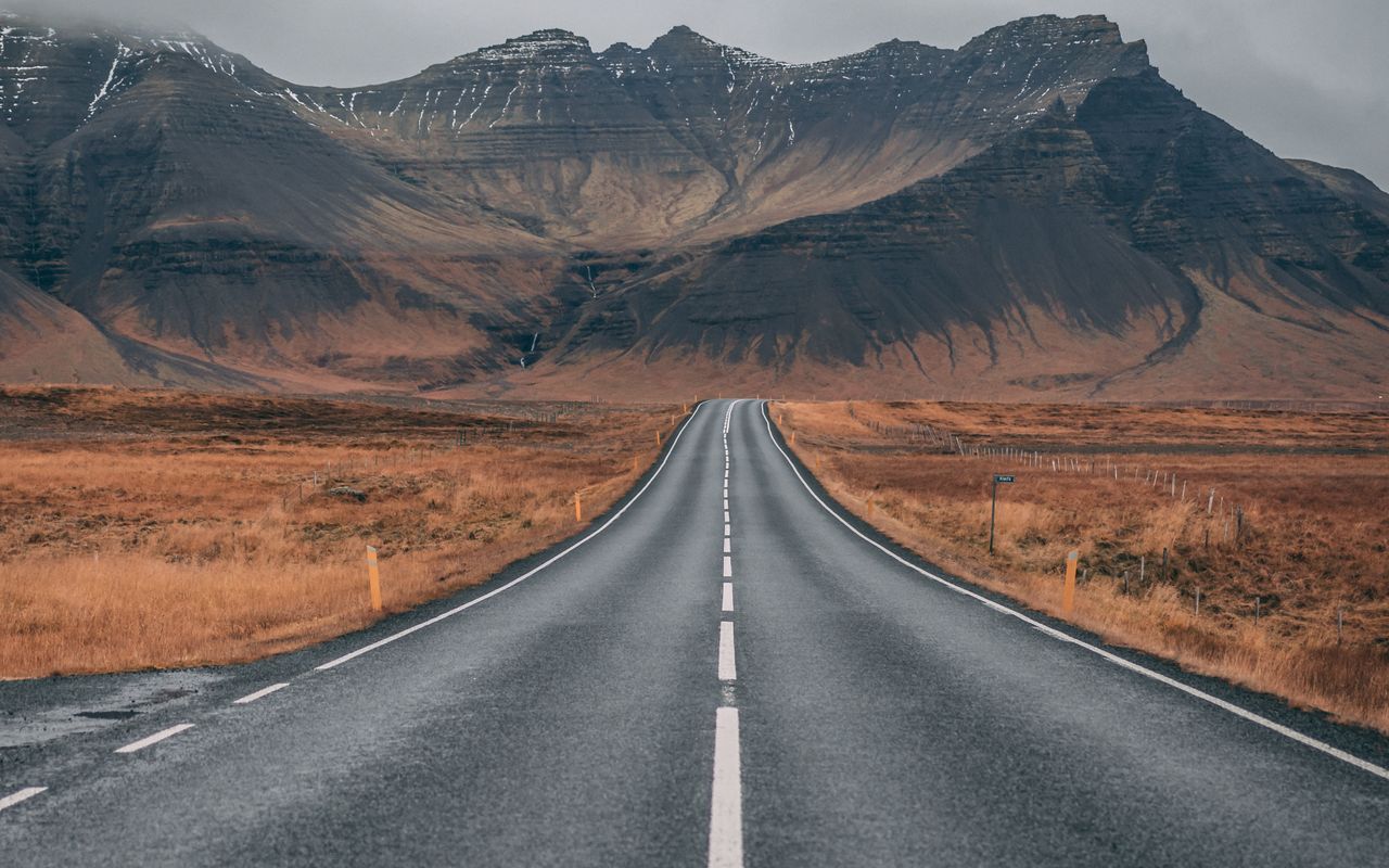


“Lost signal at the second checkpoint on the KKH. Apex Rider didn't even blink.”
“The crash-detection countdown is the feature you hope never fires. It fired. It worked.”
“We finally stopped losing each other on group rides. Everyone's just on the map now.”
Most apps cache the map tiles offline but not the routing engine, so you can see where you are and still get “no route available.” Apex Rider does the routing on the phone. Download a region once, and turn-by-turn keeps working in airplane mode.
Did it route you wrong somewhere remote? Tell us at support@apexrider.app. The failures are the useful part.
Yes. Download your region first and offline maps, turn-by-turn bike navigation, ride recording, weather (last fetched), points of interest and pre-ride checklists all run with the radio off, even in airplane mode. (Crash-detection SOS and live crew tracking still need a signal to reach your contacts or emergency services.) Your phone's local database is the source of truth; the cloud only catches up when you reconnect.
Google Maps offline areas expire, drop full turn-by-turn in remote regions and have no motorcycle features. Apex Rider caches the whole tour onto the phone (every map tile, cue, weather snapshot and place to fuel or sleep) and adds tools built for bikers: T-CLOCS pre-ride checks, fuel economy, maintenance by distance and crash-detection SOS.
Yes. Crash detection watches for an impact when you come off the bike and starts a 30-second countdown; if you don't cancel it, it triggers an SOS, texts your live location to your contacts and dials the correct local emergency number. Crash detection and SOS are best-effort aids, not a replacement for emergency services or a satellite messenger. Always carry appropriate backup for remote travel.
Yes. Import any GPX or FIT track as a route, and export any recorded ride to GPX or FIT for Garmin, Strava and the rest.
No. You can plan, navigate, record, run the safety tools and use your bike garage fully signed out. An account only unlocks the community layer: clubs, riders, group rides, kudos and cross-device sync.
Low-power recording widens the GPS cadence so it lasts a full day on the bike from one charge, and background recording keeps going with the screen off. Incremental recording writes the track as you ride, so even if the phone dies your ride is still there.
Yes. The multi-stop route planner splits a tour into days with distance, climb and ETA, and the offline local guide pins fuel, food, water, viewpoints, bike mechanics and stays along your route, available with no signal.
Live location sharing is always opt-in, time-boxed and revocable. You choose who sees you and for how long. A privacy zone hides your home and start point, and sensitive data like location history and emergency contacts is encrypted in transit and at rest.
Apex Rider is built for motorcycle touring on every kind of bike (adventure/ADV, touring, naked, sport and cruiser) with T-CLOCS checks, fuel economy, maintenance by distance and a multi-bike garage. Bike here means motorcycle: it is not designed for bicycles.
Yes, it works anywhere you download a region first. Apex Rider is built specifically for bikers doing the kind of remote, high-mountain touring where the map app goes blank: switchbacks above the tree line and passes with no bars for a hundred kilometres.
It's here to try now. Android is live on Google Play, and iOS is live on the App Store. Download the app today to start riding.
Watch Apex Rider handle the offline navigation, safety and planning that a real bike tour actually demands.
Download the region. Ride it offline. Get home with the story. Live now on Google Play and the App Store.
No spam — the occasional ping when something big ships. Leave anytime.
Android & iOS out now · riding with a bike club? book a launch-region demo →